Geco Strategic Weed Management
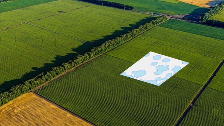
AIVA is collaborating with Geco Strategic Weed Management to run three separate experiments. Geco’s technology maps out and predicts weed patterns and emergence in a field, enabling growers to apply variable rate prescriptions based on weed pressure.
These maps provide both predictive mapping and historical weed patterns to visualize weed patches over the years. Geco is designed to work on top of existing agronomy programs, helping growers target inputs more precisely rather than replace current practices.
Experiment 1
Project Overview
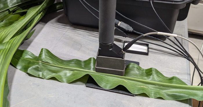
Experiment 1 evaluates Geco’s ability to detect weed patches and evaluate weed presence and types using satellite imagery across diverse weed, crop, and geographical conditions compared to field-based scouting.
Project Attributes
Innovation Category: Remote sensing
Targeted Users of the Innovation: Agronomists and Farmers
Locations: Area X.O (Ontario), EMILI (Manitoba), Innovation Farms Ontario (Ontario), Olds College (Alberta)
Crops: Soybean, Wheat, Potato, Corn, Rye, Barley, Canola, Faba Bean
Project Activities
- Field scouting will be conducted four times throughout the growing season to compare satellite-detected weed patches with what is actually in the field.
Experiment 2
Project Overview
Experiment 2 explores the agronomic effect of interventions on top of existing weed control strategies: increasing residual herbicide (by dosage or adding a Mode of Action) and/or increasing seed rate in higher weed-pressure areas to increase crop competition. The key outcome is to determine the impact of Geco’s weed mapping when used to guide with other weed management practices to help growers optimize profitability.
Project Attributes
Innovation Category: Remote sensing
Targeted Users of the Innovation: Agronomists and Farmers
Locations: EMILI (Manitoba), Innovation Farms Ontario (Ontario), Olds College (Alberta)
Crops: Wheat & Soybean
Project Activities
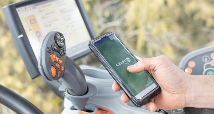
- The trial uses variable rate application equipment capable of adjusting seed rate (baseline and ~25-50% increase) and residual herbicide (baseline and elevated).
- Treatments: The study includes four treatment designs that combine variations of residual herbicide and seeding rates:
- Baseline residual herbicide and baseline seeding rate
- Baseline residual herbicide and elevated seeding rate
- Elevated residual herbicide and baseline seeding rate
- Elevated residual herbicide and elevated seeding rate
- Data Collection: Human-scouted weed pressure (species and density), yield, and protein content
Experiment 3
Project Overview
Experiment 3 explores the use of predicted weed pressure maps to develop more effective paths for robotic weeders. The effectiveness of weed control will be assessed under the following two treatments: weed-oriented paths and traditional linear weeding paths.
Project Attributes
Innovation Category: Remote sensing & Autonomous robots
Targeted Users of the Innovation: Farmers
Locations: Area X.O (Ontario), Innovation Farms Ontario (Ontario)
Crops: Pumpkins & Onions
Project Activities
- The core purpose of the project is to use Geco’s weed prediction maps to provide information on predicted weed pressure in a field, allowing a weeding robot to prioritize which areas to start with.
- Observations on the efficiencies and challenges of operating both traditional and weed-oriented mapping types.
Learn more about Geco.
Learn about the Validation Hubs trialing this technology: Area X.O, EMILI, Innovation Farms Ontario, Olds College