Photo Credit: TerraClear
Technology Feature: TerraClear
September 16, 2026TerraClear uses AI-powered imagery and mapping to help farmers find rocks faster and make rock picking more efficient. The technology has already been validated through WHIN, one of AIVA’s founding partners, and is now being introduced to AIVA’s Farmer Alliance Members to pilot in Canada.
About the technology
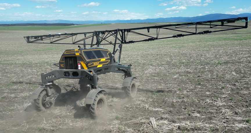
TerraClear combines high-resolution field imagery, artificial intelligence, and precision mapping to identify and locate challenges across an entire field. Its technology is currently used for rock and weed management, creating detailed maps and actionable plans that farmers can use with their existing crews and equipment.
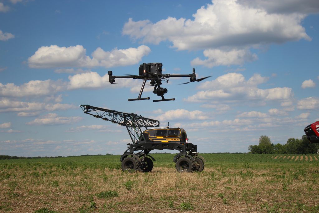
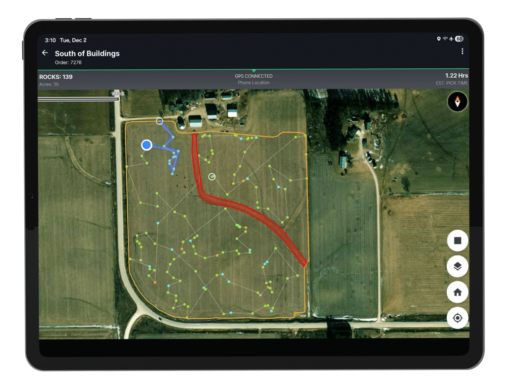
For rock management, TerraClear uses aerial imagery and computer vision to detect rocks eight inches and larger, and pinpoints their location in the field. Farmers can use the resulting maps to plan more efficient rock-picking routes, track progress, and focus their time exactly where it is needed.
TerraClear is also expanding its technology into weed management. Its AI-powered system can identify weeds and create prescription maps that help farmers target problem areas rather than treating an entire field uniformly.
Why this matters to farmers
Field scouting and management can require significant time, labour, and inputs, particularly when farmers have to rely on broad observations to address problems that may only exist in certain areas. TerraClear gives farmers a more precise view of field conditions so they can focus labour, equipment, and crop protection products where they are actually needed.
For rock management, TerraClear reports that farmers using its maps identify three times more rocks and can spend significantly less time picking them. Rocks can damage farm equipment and cause operational delays, so clearing them efficiently saves both time and money. Its weed mapping technology also has the potential to reduce herbicide applications by helping farmers target specific areas of weed pressure.
By turning detailed field imagery into actionable maps, TerraClear can help farmers make more informed decisions while improving efficiency across their operations.
Join the Network
TerraClear is being introduced to AIVA’s Farmer Alliance Members to pilot the technology in Canada. If you’re a Canadian farmer interested in learning about new agtech, or an innovator wanting to validate your product with AIVA, we want to hear from you!
Join the Network to learn more.